Health & Fitness
Thursday's Winter Storm Could Mean 1-3 inches of Snow, Sleet in O'Fallon
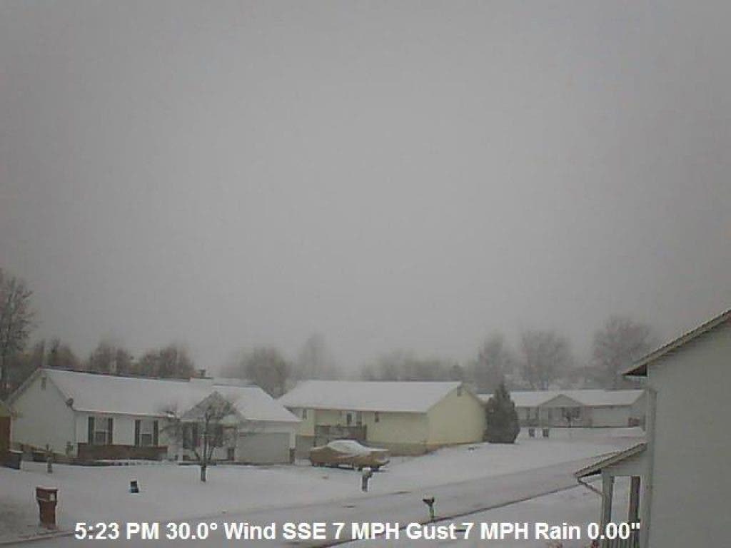
Local website ofallonweather.org features live data, as well as 2 outdoor camera's that can be viewed 24/7.
Quick update on the upcoming winter storm. Can't lie, this is a tough one to forecast, a warm layer of air is forecast to move into the area, this will stay well above the ground level which will stay below freezing, this is what will change the snow to sleet or freezing rain. These warm layers aloft are well known to be a tough forecast.
I would look for snow to begin somewhere between 6 and 9 in the morning, after that it will be a mix of snow, sleet, and freezing rain. This will be very dependent on the area you're in, further north will get more snow, further south will get more sleet and freezing rain.
My best guess for the O'Fallon area is 1-3 inches of snow/sleet with one to two tenths of an inch of ice..Stay safe everyone, leave early, and top off your windshield washer fluid tonight.
Find out what's happening in O'Fallonwith free, real-time updates from Patch.
Our website features live data, as well as 2 outdoor camera's that can be viewed 24/7. http://ofallonweather.org/
More updates will be available on our Facebook page: http://www.facebook.com/ofallonweather.org